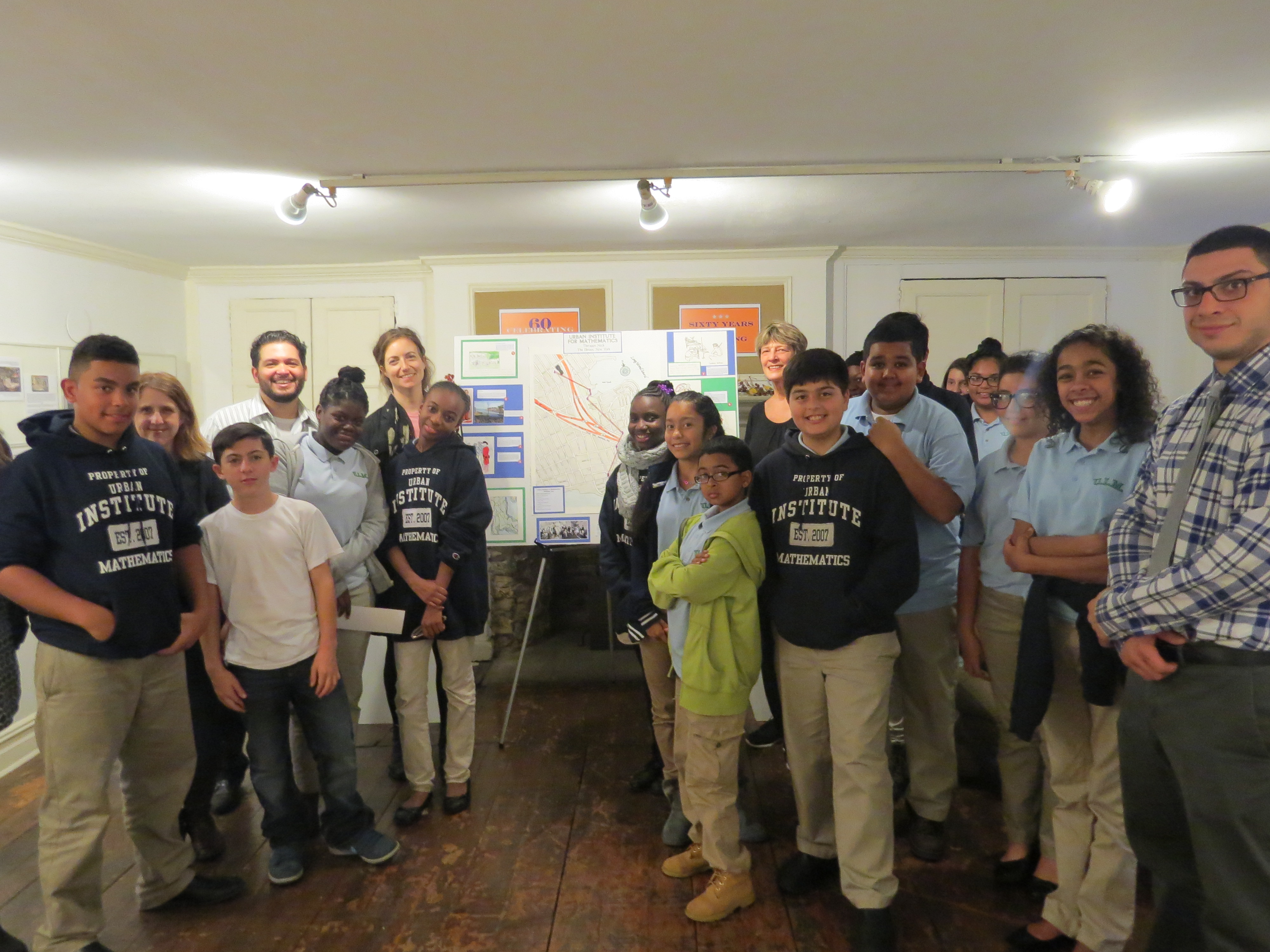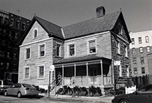
Students at the Urban Institute of Mathematics (UIM), a middle school serving grades six to eight in Throggs Neck, visited the Bronx Historical Society (BHS) in Norwood on Nov. 19, to unveil its map of the 18th century, capping a six-course assignment with borough historians.
The program, dubbed Map It! Exploring Your School’s Neighborhood, has been around for two years. The BHS project was funded by the New York Community Trust. BHS partnered with the New York City Department of Education (DOE) to fuse the borough’s archaic back story into social studies lessons at participating schools. Students from Throggs Neck, for instance, would learn about key points of the Revolutionary War that happened in that neighborhood.
“We’re concentrating on their school’s neighborhood, and highlighting their history,” said Angel Hernandez, an educational coordinator at the Bronx Historical Society. Part of this entails learning about Bronx veterans of the Revolutionary War, Bronx memorials, and local history.
All of this was accomplished through walking tours from Throggs Neck to Norwood, which included a stop at Fort Schuyler, a defunct military stronghold in Throggs Neck that’s named after Philip Schuyler, a general during the Revolutionary War.
Hernandez organized the event along with Joe Delea and Nora Flynn, who teach seventh and eighth grade social studies at the UIM respectively. The project consisted of these teachers delegating different jobs to the students since “kids learn by doing, by experiencing,” said Delea.
Students were each given a part of the map project to work on, such as researching material for the map’s contents, drawing/tracing the actual maps, and writing information about the landmarks. “[Our goal is to make] Bronx history more useful for the classroom,” Hernandez said.
One student, Domenic Ariciuolo, a seventh grader whose job was to help draw the map said, “I enjoyed it a lot because this is where I live.”


